


Le tolonet

gaggiroland
User
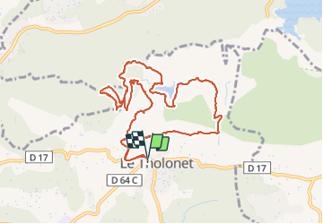

Length
12.2 km

Max alt
354 m

Uphill gradient
434 m
Km-Effort
18 km

Min alt
180 m

Downhill gradient
436 m
Boucle
Yes
Creation date :
2021-11-09 09:04:33.0
Updated on :
2021-11-09 15:23:28.769
4h06
Difficulty : Difficult

FREE GPS app for hiking
 SityTrail
IGN / Geographical institutes
SityTrail Plus
The world is yours!
About
Trail Walking of 12.2 km to be discovered at Provence-Alpes-Côte d'Azur, Bouches-du-Rhône, Le Tholonet. This trail is proposed by gaggiroland.
Description
Le tolonet
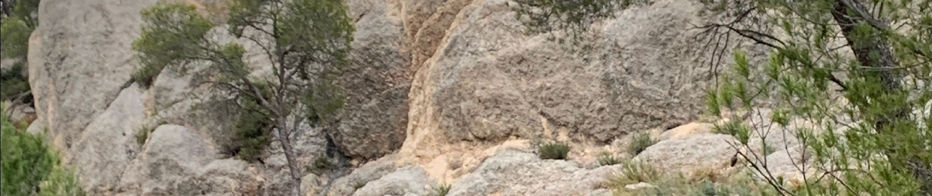
Photos


50 photos in total. Please click on a photo to see them all in the gallery.
Positioning
Country:
France
Region :
Provence-Alpes-Côte d'Azur
Department/Province :
Bouches-du-Rhône
Municipality :
Le Tholonet
Location:
Unknown
Start:(Dec)
Start:(UTM)
702876 ; 4821825 (31T) N.
Comments